
虞山街道 topographic map
Interactive map
Click on the map to display elevation.
About this map
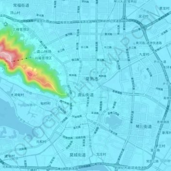
Name: 虞山街道 topographic map, elevation, terrain.
Location: 虞山街道, Changshu, Suzhou, Jiangsu, Chine (31.61677 120.65857 31.69107 120.75247)
Average elevation: 46 ft
Minimum elevation: -10 ft
Maximum elevation: 837 ft