
Almirez topographic map
Interactive map
Click on the map to display elevation.
About this map
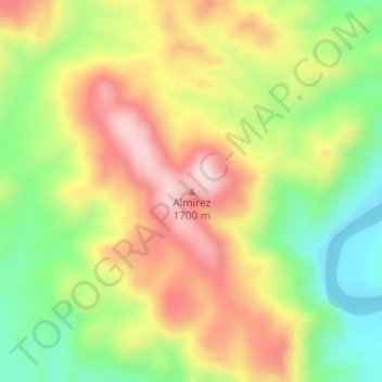
Name: Almirez topographic map, elevation, terrain.
Location: Almirez, Valle de Zaragoza, Chihuahua, México (27.36415 -105.95660 27.36425 -105.95650)
Average elevation: 5,023 ft
Minimum elevation: 4,442 ft
Maximum elevation: 5,630 ft