Geolocate

Cave Spring topographic map

Click on the map to display elevation.

About this map

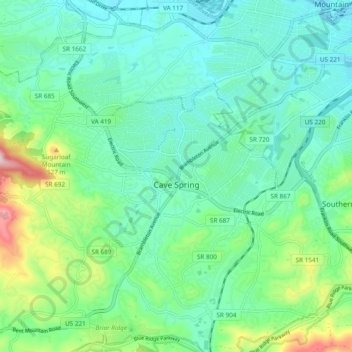
Name: Cave Spring topographic map, elevation, terrain.

Location: Cave Spring, Roanoke County, Virginia, 24018, United States (37.20075 -80.05141 37.26307 -79.95602)

Average elevation: 1,217 ft

Minimum elevation: 935 ft

Maximum elevation: 2,133 ft

Roanoke County trails, hiking, mountain biking, running and outdoor activities

Gear up for your next adventure:

🎁Geography Themed Gifts - Unique gift ideas for map lovers and geography enthusiasts
🪶Trail Camera - Capture wildlife on your hikes
🧭Pro Hiking Compasses - High-accuracy liquid-filled compasses for topographic orientation
🏫Relief Map Kits - Hands-on tools for teaching landforms and elevation
📦Gear Storage Bags - Organize and protect outdoor equipment

As an Amazon Associate, this site earns from qualifying purchases at no extra cost to you.