
Bedourie topographic map
Interactive map
Click on the map to display elevation.
About this map
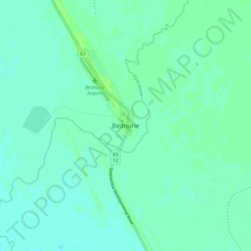
Name: Bedourie topographic map, elevation, terrain.
Location: Bedourie, Diamantina Shire, Queensland, Australia (-24.39959 139.43024 -24.31959 139.51024)
Average elevation: 289 ft
Minimum elevation: 276 ft
Maximum elevation: 308 ft