
Fort Beaufort topographic map
Interactive map
Click on the map to display elevation.
About this map
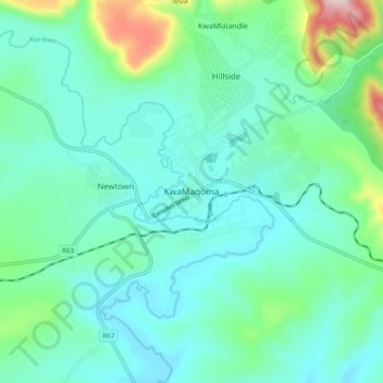
Name: Fort Beaufort topographic map, elevation, terrain.
Average elevation: 1,581 ft
Minimum elevation: 1,302 ft
Maximum elevation: 2,720 ft
Other topographic maps
Click on a map to view its topography, its elevation and its terrain.
Ngwenya
South Africa > Eastern Cape > Amathole District Municipality > Nkonkobe Local Municipality > Ngwenya
Ngwenya, Nkonkobe Local Municipality, Amathole District Municipality, Eastern Cape, South Africa
Average elevation: 1,814 ft