
亭心 topographic map
Interactive map
Click on the map to display elevation.
About this map
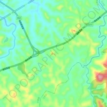
Name: 亭心 topographic map, elevation, terrain.
Location: 亭心, 宁明县, 崇左市, 广西壮族自治区, 中国 (22.28910 107.24300 22.32910 107.28300)
Average elevation: 486 ft
Minimum elevation: 335 ft
Maximum elevation: 807 ft
Other topographic maps
Click on a map to view its topography, its elevation and its terrain.