
Gemeinde Gutenstein topographic map
Interactive map
Click on the map to display elevation.
About this map
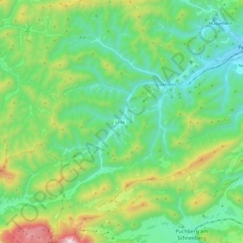
Name: Gemeinde Gutenstein topographic map, elevation, terrain.
Average elevation: 2,549 ft
Minimum elevation: 1,404 ft
Maximum elevation: 5,751 ft
Other topographic maps
Click on a map to view its topography, its elevation and its terrain.
Plackles
Austria > Lower Austria > Bezirk Wiener Neustadt > Gemeinde Hohe Wand
Plackles, Gemeinde Hohe Wand, Bezirk Wiener Neustadt, Lower Austria, 2733, Austria
Average elevation: 2,844 ft
Gemeinde Hollenthon
Austria > Lower Austria > Bezirk Wiener Neustadt > Gemeinde Hollenthon
Gemeinde Hollenthon, Bezirk Wiener Neustadt, Lower Austria, 2812, Austria
Average elevation: 2,083 ft
Gemeinde Waldegg
Austria > Lower Austria > Bezirk Wiener Neustadt
Gemeinde Waldegg, Bezirk Wiener Neustadt, Lower Austria, Austria
Average elevation: 2,005 ft