
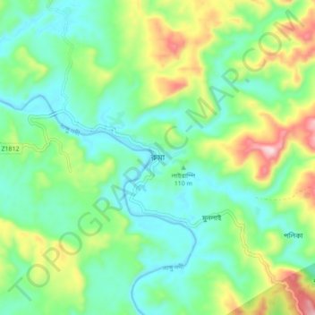
Ruma topographic map
Interactive map
Click on the map to display elevation.
About this map
Name: Ruma topographic map, elevation, terrain.
Location: Ruma, Bandarban District, Chattogram Division, Bangladesh (22.00927 92.36925 22.08927 92.44925)
Average elevation: 453 ft
Minimum elevation: 39 ft
Maximum elevation: 1,424 ft