
Üzümlü topographic map
Interactive map
Click on the map to display elevation.
About this map
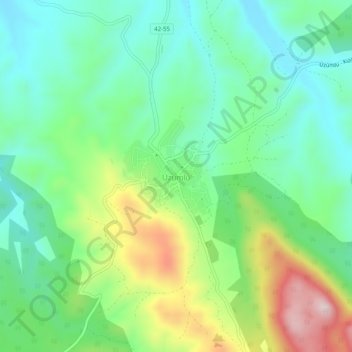
Name: Üzümlü topographic map, elevation, terrain.
Location: Üzümlü, Beyşehir, Konya, Zentralanatolien, Türkei (37.52080 31.58398 37.56080 31.62398)
Average elevation: 4,262 ft
Minimum elevation: 3,865 ft
Maximum elevation: 5,115 ft