
San Antonio de Prado topographic map
Interactive map
Click on the map to display elevation.
About this map
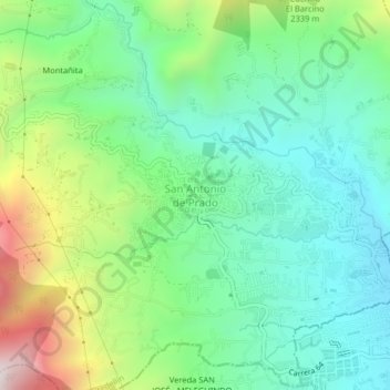
Name: San Antonio de Prado topographic map, elevation, terrain.
Average elevation: 6,404 ft
Minimum elevation: 5,400 ft
Maximum elevation: 8,698 ft