
Nationalpark Hamburgisches Wattenmeer topographic map
Interactive map
Click on the map to display elevation.
About this map
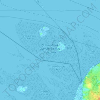
Name: Nationalpark Hamburgisches Wattenmeer topographic map, elevation, terrain.
Average elevation: 0 ft
Minimum elevation: -7 ft
Maximum elevation: 82 ft
Other topographic maps
Click on a map to view its topography, its elevation and its terrain.
Außenalster
Außenalster, Schöne Aussicht, Uhlenhorst, Hamburg-Nord, Hambourg, 22085, Allemagne
Average elevation: 39 ft