
Gardez topographic map
Interactive map
Click on the map to display elevation.
About this map
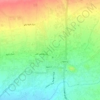
Name: Gardez topographic map, elevation, terrain.
Location: Gardez, Gardez District, Paktia Province, Afghanistan (33.58860 69.20172 33.61855 69.24022)
Average elevation: 7,615 ft
Minimum elevation: 7,513 ft
Maximum elevation: 7,753 ft