
Sills topographic map
Interactive map
Click on the map to display elevation.
About this map
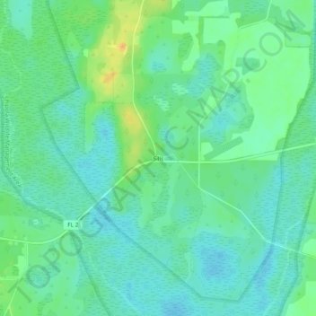
Name: Sills topographic map, elevation, terrain.
Location: Sills, Jackson County, Florida, USA (30.92518 -85.30341 30.96518 -85.26341)
Average elevation: 105 ft
Minimum elevation: 69 ft
Maximum elevation: 184 ft