
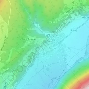
Griesegg topographic map
Interactive map
Click on the map to display elevation.
About this map
Name: Griesegg topographic map, elevation, terrain.
Location: Griesegg, Rotanger, Tarrenz, Bezirk Imst, 6464, Oostenrijk (47.25297 10.74833 47.27297 10.76833)
Average elevation: 2,982 ft
Minimum elevation: 2,490 ft
Maximum elevation: 4,672 ft