
Ang Thong Province topographic map
Interactive map
Click on the map to display elevation.
About this map
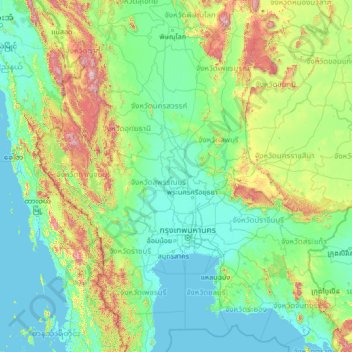
Name: Ang Thong Province topographic map, elevation, terrain.
Location: Ang Thong Province, Thailand (12.04952 97.71704 17.24952 102.91704)
Average elevation: 650 ft
Minimum elevation: -7 ft
Maximum elevation: 6,430 ft