
Asten topographic map
Interactive map
Click on the map to display elevation.
About this map
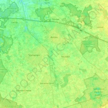
Name: Asten topographic map, elevation, terrain.
Location: Asten, Nordbrabant, Niederlande (51.33380 5.69398 51.44007 5.87036)
Average elevation: 89 ft
Minimum elevation: 56 ft
Maximum elevation: 115 ft