
Sexbierum topographic map
Interactive map
Click on the map to display elevation.
About this map
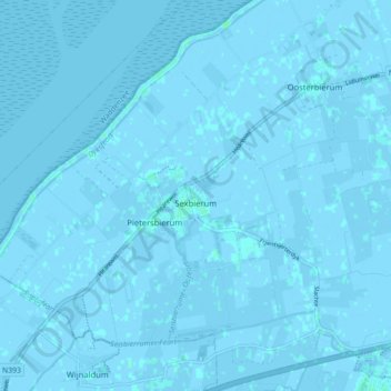
Name: Sexbierum topographic map, elevation, terrain.
Location: Sexbierum, Waadhoeke, Friesland, Nederland (53.19299 5.45493 53.24588 5.52354)
Average elevation: 0 ft
Minimum elevation: -13 ft
Maximum elevation: 13 ft