
El Galpon topographic map
Interactive map
Click on the map to display elevation.
About this map
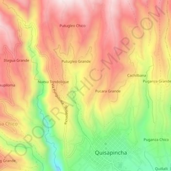
Name: El Galpon topographic map, elevation, terrain.
Location: El Galpon, Ambato, Tungurahua, Ecuador (-1.23853 -78.71008 -1.19853 -78.67008)
Average elevation: 10,764 ft
Minimum elevation: 9,649 ft
Maximum elevation: 11,604 ft