
Ruaka topographic map
Interactive map
Click on the map to display elevation.
About this map
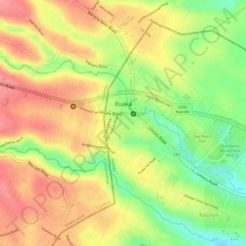
Name: Ruaka topographic map, elevation, terrain.
Location: Ruaka, Condado de Kiambu, Central Kenya, Kenia (-1.21379 36.76671 -1.20169 36.79327)
Average elevation: 5,751 ft
Minimum elevation: 5,571 ft
Maximum elevation: 5,873 ft