
D 90 topographic map
Interactive map
Click on the map to display elevation.
About this map
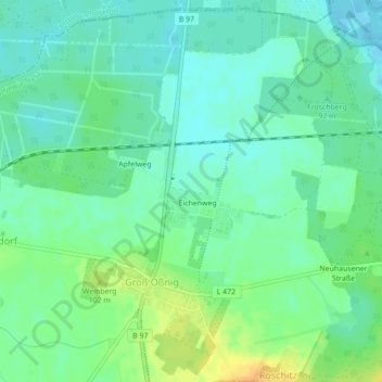
Name: D 90 topographic map, elevation, terrain.
Average elevation: 299 ft
Minimum elevation: 266 ft
Maximum elevation: 361 ft
Other topographic maps
Click on a map to view its topography, its elevation and its terrain.
D 45
Allemagne > Brandebourg > Neuhausen/Spree
D 45, Neuhausen/Spree, Spree-Neiße, Brandebourg, Allemagne
Average elevation: 325 ft
D 21
Allemagne > Brandebourg > Neuhausen/Spree
D 21, Neuhausen/Spree, Spree-Neiße, Brandebourg, 03058, Allemagne
Average elevation: 305 ft