
Schwarzenberg topographic map
Interactive map
Click on the map to display elevation.
About this map
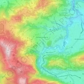
Name: Schwarzenberg topographic map, elevation, terrain.
Location: Schwarzenberg, Bregenz, Vorarlberg, Austria (47.37730 9.80117 47.44267 9.88199)
Average elevation: 2,848 ft
Minimum elevation: 1,699 ft
Maximum elevation: 4,764 ft