
Revolución Mexicana topographic map
Interactive map
Click on the map to display elevation.
About this map
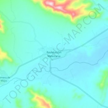
Name: Revolución Mexicana topographic map, elevation, terrain.
Location: Revolución Mexicana, Villa Corzo, Chiapas, México (16.13058 -93.11623 16.21058 -93.03623)
Average elevation: 1,955 ft
Minimum elevation: 1,709 ft
Maximum elevation: 3,478 ft
Other topographic maps
Click on a map to view its topography, its elevation and its terrain.