
Weissmatten topographic map
Interactive map
Click on the map to display elevation.
About this map
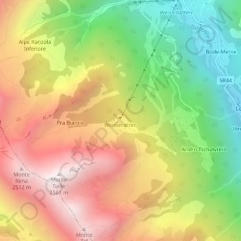
Name: Weissmatten topographic map, elevation, terrain.
Location: Weissmatten, Gressoney-Saint-Jean, Aosta Valley, 11025, Italy (45.73790 7.81516 45.75790 7.83516)
Average elevation: 6,339 ft
Minimum elevation: 4,291 ft
Maximum elevation: 8,383 ft