
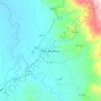
Jesús de Otoro topographic map
Interactive map
Click on the map to display elevation.
About this map
Name: Jesús de Otoro topographic map, elevation, terrain.
Location: Jesús de Otoro, Intibucá, Honduras (14.44476 -88.02171 14.52476 -87.94171)
Average elevation: 2,431 ft
Minimum elevation: 1,755 ft
Maximum elevation: 5,669 ft