
Hi Country Estates topographic map
Interactive map
Click on the map to display elevation.
About this map
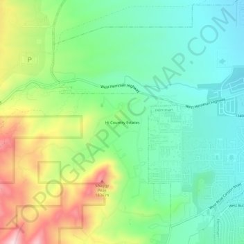
Name: Hi Country Estates topographic map, elevation, terrain.
Average elevation: 5,410 ft
Minimum elevation: 5,030 ft
Maximum elevation: 6,165 ft