Puerta de Lipán topographic map
Interactive map
Click on the map to display elevation.
About this map
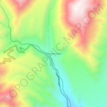
Name: Puerta de Lipán topographic map, elevation, terrain.
Average elevation: 10,351 ft
Minimum elevation: 9,114 ft
Maximum elevation: 11,919 ft

Click on the map to display elevation.
Name: Puerta de Lipán topographic map, elevation, terrain.
Average elevation: 10,351 ft
Minimum elevation: 9,114 ft
Maximum elevation: 11,919 ft