
吴淞江 topographic map
Interactive map
Click on the map to display elevation.
About this map
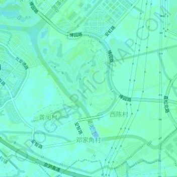
Name: 吴淞江 topographic map, elevation, terrain.
Location: 吴淞江, 嘉定区, 上海市, 201805, 中国 (31.25921 121.17578 31.27692 121.20480)
Average elevation: 13 ft
Minimum elevation: 3 ft
Maximum elevation: 20 ft
Other topographic maps
Click on a map to view its topography, its elevation and its terrain.