
Kandoli Park topographic map
Interactive map
Click on the map to display elevation.
About this map
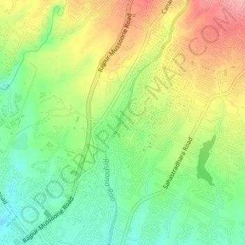
Name: Kandoli Park topographic map, elevation, terrain.
Location: Kandoli Park, Dehradun, Uttarakhand, 248001, India (30.34784 78.06631 30.34897 78.06732)
Average elevation: 2,411 ft
Minimum elevation: 2,254 ft
Maximum elevation: 2,608 ft