
Sidi Addi topographic map
Interactive map
Click on the map to display elevation.
About this map
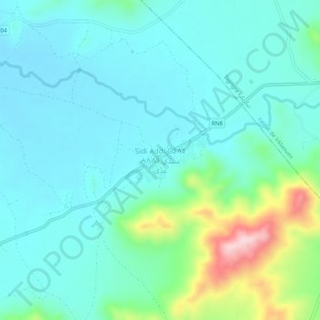
Name: Sidi Addi topographic map, elevation, terrain.
Average elevation: 3,661 ft
Minimum elevation: 3,471 ft
Maximum elevation: 4,416 ft
Other topographic maps
Click on a map to view its topography, its elevation and its terrain.
Bekrit
Maroc > cercle d'Azrou > Sidi El Makhfi
Bekrit, Sidi El Makhfi, caïdat Sidi Addi, cercle d'Azrou, Province d'Ifrane, Fès-Meknès, Maroc
Average elevation: 6,047 ft