
Barre Mills topographic map
Interactive map
Click on the map to display elevation.
About this map
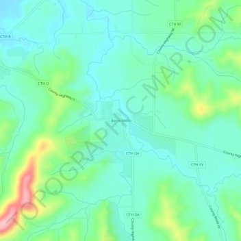
Name: Barre Mills topographic map, elevation, terrain.
Location: Barre Mills, La Crosse County, Wisconsin, USA (43.82122 -91.13380 43.86122 -91.09380)
Average elevation: 787 ft
Minimum elevation: 650 ft
Maximum elevation: 1,198 ft