
Lecrín topographic map
Interactive map
Click on the map to display elevation.
About this map
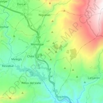
Name: Lecrín topographic map, elevation, terrain.
Average elevation: 3,081 ft
Minimum elevation: 876 ft
Maximum elevation: 8,051 ft
Other topographic maps
Click on a map to view its topography, its elevation and its terrain.
Pinos del Valle
Spanje > Andalusië > Comarca del Valle de Lecrín > El Pinar
Pinos del Valle, El Pinar, Comarca del Valle de Lecrín, Granada, Andalusië, 18658, Spanje
Average elevation: 2,093 ft