
Val de Castellón topographic map
Interactive map
Click on the map to display elevation.
About this map
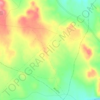
Name: Val de Castellón topographic map, elevation, terrain.
Average elevation: 1,332 ft
Minimum elevation: 1,178 ft
Maximum elevation: 1,490 ft
Other topographic maps
Click on a map to view its topography, its elevation and its terrain.
El Ciego
España > Aragón > Bajo Aragón > Alcañiz
El Ciego, Alcañiz, Bajo Aragón, Teruel, Aragón, 44600, España
Average elevation: 1,083 ft
Salada de la Jabonera de las Torrazas
España > Aragón > Bajo Aragón > Alcañiz
Salada de la Jabonera de las Torrazas, Alcañiz, Bajo Aragón, Teruel, Aragón, España
Average elevation: 1,161 ft