
Tadepalle topographic map
Interactive map
Click on the map to display elevation.
About this map
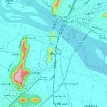
Name: Tadepalle topographic map, elevation, terrain.
Location: Tadepalle, Guntur District, Andhra Pradesh, 522501, India (16.44447 80.56438 16.52447 80.64438)
Average elevation: 95 ft
Minimum elevation: 23 ft
Maximum elevation: 804 ft