Geolocate

Barail Range topographic map

Click on the map to display elevation.

About this map
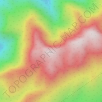
Name: Barail Range topographic map, elevation, terrain.

Location: Barail Range, Maibong, Dima Hasao, Assam, India (25.27429 93.34771 25.27439 93.34781)

Average elevation: 4,954 ft

Minimum elevation: 3,661 ft

Maximum elevation: 5,817 ft

Gear up for your next adventure:

🔪Outdoor Multitools - Essential survival tools for gear repair and field use
⌚Solar GPS Watches - Advanced multisport watches with built-in topographic maps
👓Polarized Sunglasses - Outdoor sunglasses for glare reduction
🩳Quick‑Dry Hiking Shorts - Comfortable and quick‑dry shorts for summer hiking
⛺Backpacking Tents - Weight-optimized shelters for multi-day topographic surveys

As an Amazon Associate, this site earns from qualifying purchases at no extra cost to you.