
Icogne topographic map
Interactive map
Click on the map to display elevation.
About this map
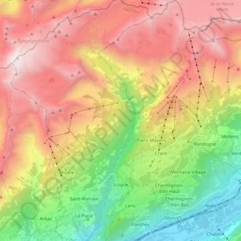
Name: Icogne topographic map, elevation, terrain.
Location: Icogne, Sierre, Valais/Wallis, 1977, Switzerland (46.26187 7.42181 46.38526 7.49112)
Average elevation: 5,912 ft
Minimum elevation: 1,647 ft
Maximum elevation: 10,581 ft