
Tindal topographic map
Interactive map
Click on the map to display elevation.
About this map
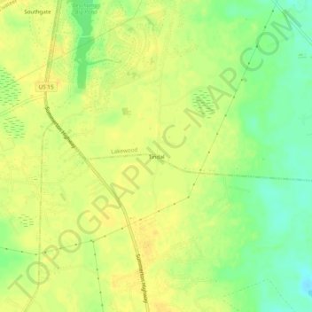
Name: Tindal topographic map, elevation, terrain.
Location: Tindal, Sumter County, South Carolina, USA (33.80155 -80.37675 33.84155 -80.33675)
Average elevation: 174 ft
Minimum elevation: 121 ft
Maximum elevation: 200 ft