
Saint-Pierre-d'Entremont topographic map
Interactive map
Click on the map to display elevation.
About this map
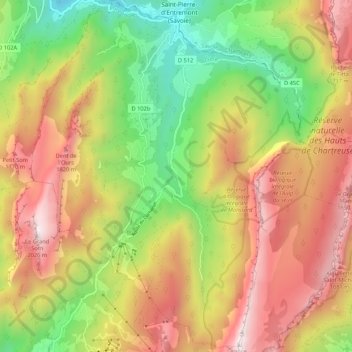
Name: Saint-Pierre-d'Entremont topographic map, elevation, terrain.
Average elevation: 4,094 ft
Minimum elevation: 1,860 ft
Maximum elevation: 6,670 ft