
Ellmauer Halt topographic map
Interactive map
Click on the map to display elevation.
About this map
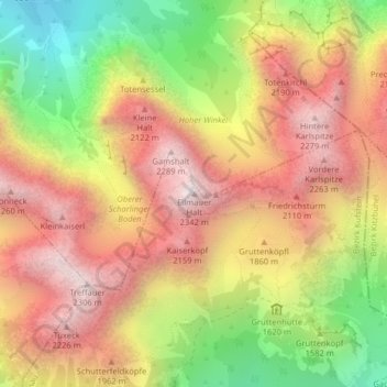
Name: Ellmauer Halt topographic map, elevation, terrain.
Location: Ellmauer Halt, Ellmau, Kufstein, Tirol, 6352, Österreich (47.56159 12.30248 47.56169 12.30258)
Average elevation: 5,627 ft
Minimum elevation: 3,199 ft
Maximum elevation: 7,585 ft