
白帝城 topographic map
Interactive map
Click on the map to display elevation.
About this map
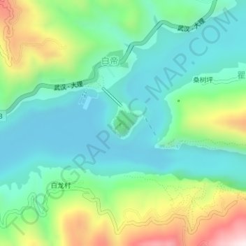
Name: 白帝城 topographic map, elevation, terrain.
Location: 白帝城, 白帝, 奉节县, 渝东北三峡库区城镇群, 重庆市, 中国 (31.03341 109.56049 31.05341 109.58049)
Average elevation: 804 ft
Minimum elevation: 236 ft
Maximum elevation: 2,195 ft