
Le Forri topographic map
Interactive map
Click on the map to display elevation.
About this map
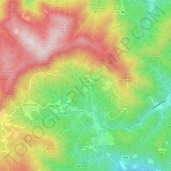
Name: Le Forri topographic map, elevation, terrain.
Location: Le Forri, Le Piastre, Pistoia, Toscana, 51028, Italia (43.99573 10.81108 44.03573 10.85108)
Average elevation: 2,963 ft
Minimum elevation: 2,034 ft
Maximum elevation: 3,940 ft