
Laguna de Aboreachi topographic map
Interactive map
Click on the map to display elevation.
About this map
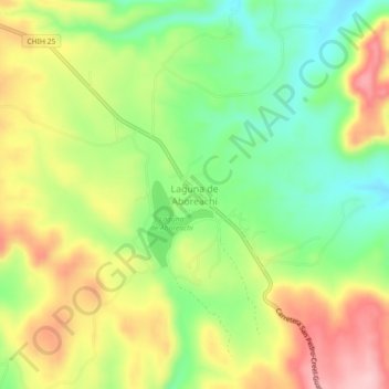
Name: Laguna de Aboreachi topographic map, elevation, terrain.
Location: Laguna de Aboreachi, Guachochi, Chihuahua, México (27.10887 -107.32785 27.14887 -107.28785)
Average elevation: 7,503 ft
Minimum elevation: 7,231 ft
Maximum elevation: 7,828 ft