
Kurakunta topographic map
Interactive map
Click on the map to display elevation.
About this map
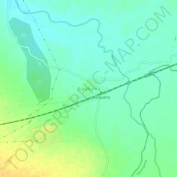
Name: Kurakunta topographic map, elevation, terrain.
Location: Kurakunta, Sedam taluku, Kalaburagi District, Karnataka, India (17.17283 77.33738 17.21283 77.37738)
Average elevation: 1,381 ft
Minimum elevation: 1,348 ft
Maximum elevation: 1,440 ft
Other topographic maps
Click on a map to view its topography, its elevation and its terrain.
Kodla
India > Karnataka > Sedam taluku
Kodla, Sedam taluku, Kalaburagi District, Karnataka, India
Average elevation: 1,549 ft
Malakheda
India > Karnataka > Sedam taluku
Malakheda, Sedam taluku, Kalaburagi District, Karnataka, 585317, India
Average elevation: 1,332 ft
Sedam
India > Karnataka > Sedam taluku
Sedam, Sedam taluku, Kalaburagi District, Karnataka, 585222, India
Average elevation: 1,388 ft