
La Jagua del Pilar topographic map
Interactive map
Click on the map to display elevation.
About this map
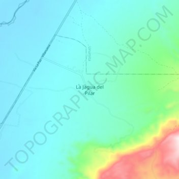
Name: La Jagua del Pilar topographic map, elevation, terrain.
Location: La Jagua del Pilar, La Guajira, Colombia (10.47020 -73.11100 10.55020 -73.03100)
Average elevation: 850 ft
Minimum elevation: 463 ft
Maximum elevation: 2,717 ft