
Dry Hill topographic map
Interactive map
Click on the map to display elevation.
About this map
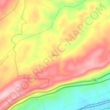
Name: Dry Hill topographic map, elevation, terrain.
Location: Dry Hill, Roane County, Tennessee, USA (35.89007 -84.67466 35.93007 -84.63466)
Average elevation: 1,260 ft
Minimum elevation: 771 ft
Maximum elevation: 1,634 ft