
Burtonville topographic map
Interactive map
Click on the map to display elevation.
About this map
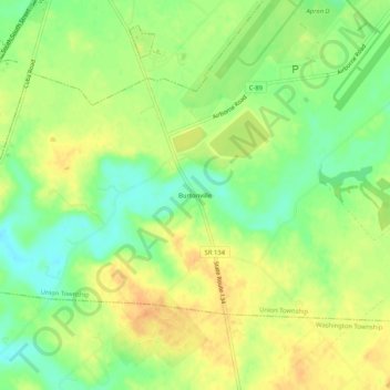
Name: Burtonville topographic map, elevation, terrain.
Location: Burtonville, Clinton County, Ohio, VS (39.38506 -83.83437 39.42506 -83.79437)
Average elevation: 1,050 ft
Minimum elevation: 988 ft
Maximum elevation: 1,102 ft