
Westerham topographic map
Interactive map
Click on the map to display elevation.
About this map
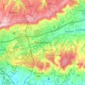
Name: Westerham topographic map, elevation, terrain.
Location: Westerham, Kent, South East, England, TN16 1AR, United Kingdom (51.22712 0.03061 51.30712 0.11061)
Average elevation: 492 ft
Minimum elevation: 213 ft
Maximum elevation: 866 ft