
Juta topographic map
Interactive map
Click on the map to display elevation.
About this map
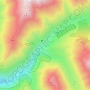
Name: Juta topographic map, elevation, terrain.
Location: Juta, Kazbegi Municipality, Mtskheta-Mtianeti, 4704, Georgia (42.55950 44.72476 42.59950 44.76476)
Average elevation: 8,320 ft
Minimum elevation: 6,142 ft
Maximum elevation: 10,453 ft