
长屿 topographic map
Interactive map
Click on the map to display elevation.
About this map
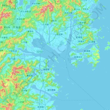
Name: 长屿 topographic map, elevation, terrain.
Location: 长屿, 台州市, 浙江省, 中国 (28.80736 121.36113 29.44736 122.00113)
Average elevation: 240 ft
Minimum elevation: -10 ft
Maximum elevation: 2,779 ft
Other topographic maps
Click on a map to view its topography, its elevation and its terrain.