
Safel El Ouiden topographic map
Interactive map
Click on the map to display elevation.
About this map
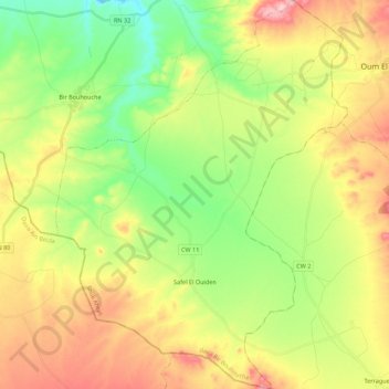
Name: Safel El Ouiden topographic map, elevation, terrain.
Location: Safel El Ouiden, Bir Bouhouche District, Souk Ahras, Algeria (35.88045 7.41533 36.05847 7.58032)
Average elevation: 2,799 ft
Minimum elevation: 2,431 ft
Maximum elevation: 3,310 ft
Other topographic maps
Click on a map to view its topography, its elevation and its terrain.
Bir Bouhouche
Algeria > Souk Ahras > Bir Bouhouche District
Bir Bouhouche, Bir Bouhouche District, Souk Ahras, Algeria
Average elevation: 2,700 ft