
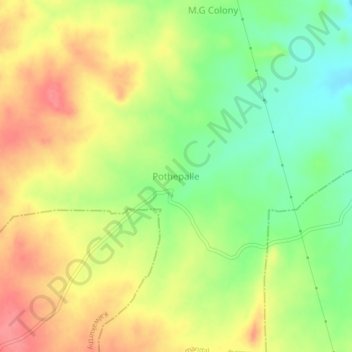
Pothepalle topographic map
Interactive map
Click on the map to display elevation.
About this map
Name: Pothepalle topographic map, elevation, terrain.
Average elevation: 1,486 ft
Minimum elevation: 1,362 ft
Maximum elevation: 1,604 ft
Other topographic maps
Click on a map to view its topography, its elevation and its terrain.
Veldanda
India > Telangana > Veldanda mandal
Veldanda, Veldanda mandal, Nagarkurnool, Telangana, 509360, India
Average elevation: 1,611 ft